System Settings
Select System Settings from the System Operator menu to manage:
Feature Accuracy Classes
Feature Classes
Features Status
Ticket Types
Use the Eye icon to view and edit and the + icon to add a new object.
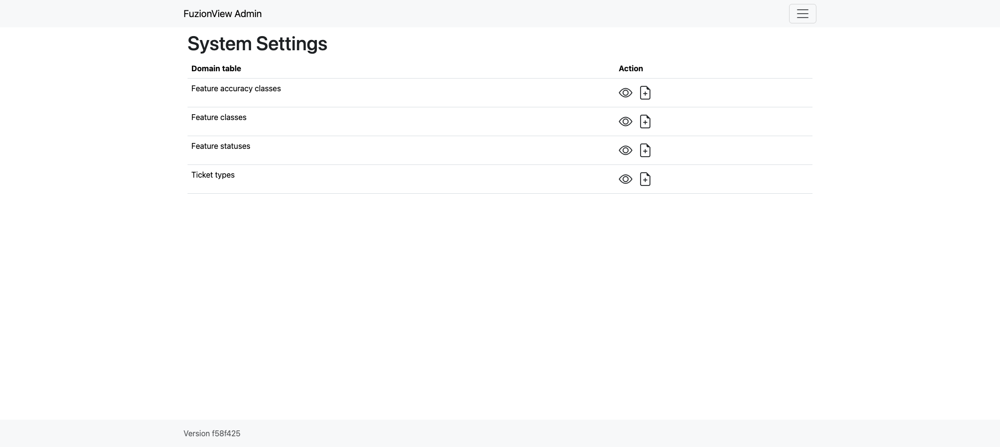
System Settings
Feature Accuracy Classes
- Feature Accuracy Classes are used to indicate how the data was collected as an indication of how reliably accurate it may be. These are the default values you can use to map to any accuracy values you may have set for your data:
sub_centimeter
sub-decimeter
sub_foot
sub_meter
greater_than_meter
georeferenced_digitized
hand_drawn
Use the Pencil icon to edit or the Trashcan icon to delete a value.
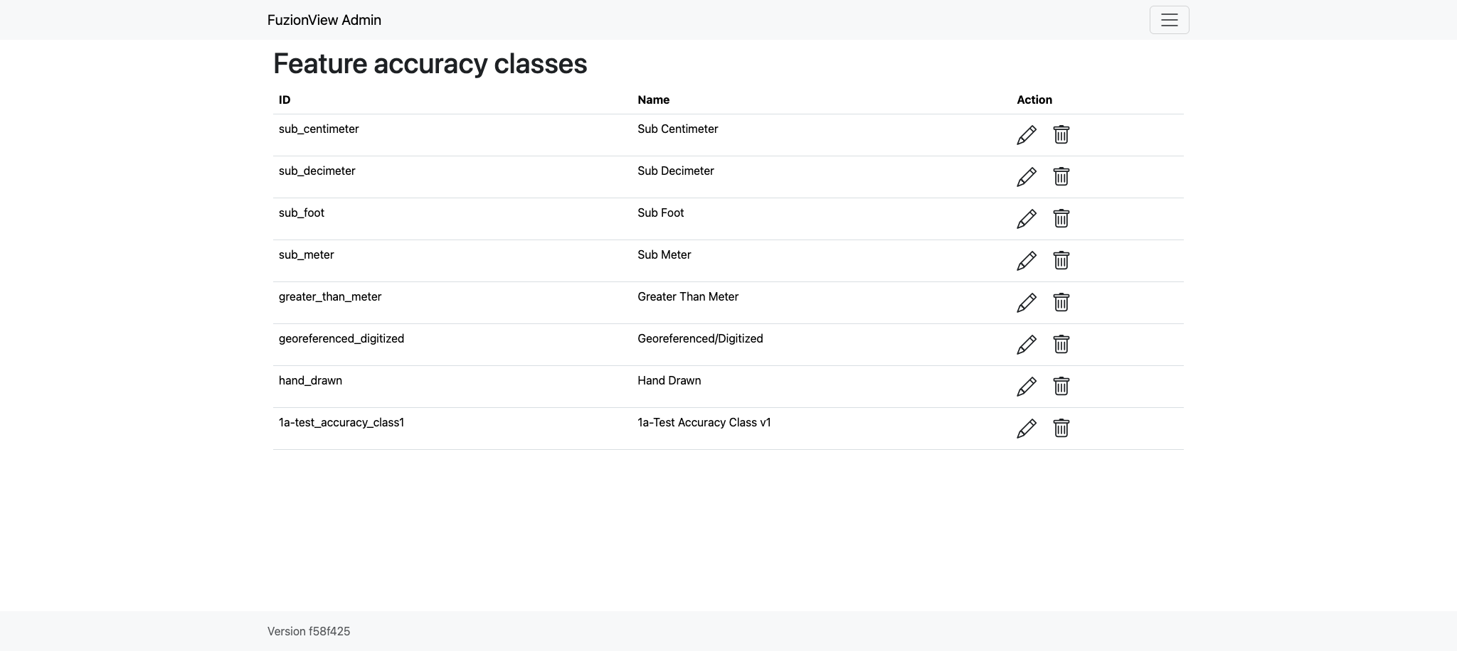
Feature Accuracy Classes
Feature Classes
Feature Classes are used to identify a feature category - known as a LAYER in Ticket Viewer. When a ticket has features in that layer, it will be displayed on the map in a specific color to clearly identify it.
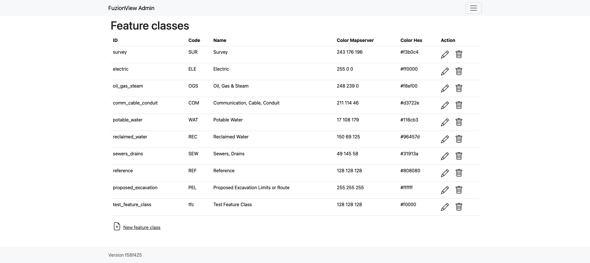
Feature Classes
Feature Statuses
Status is used to indicate whether the feature is in use and in what state of development.
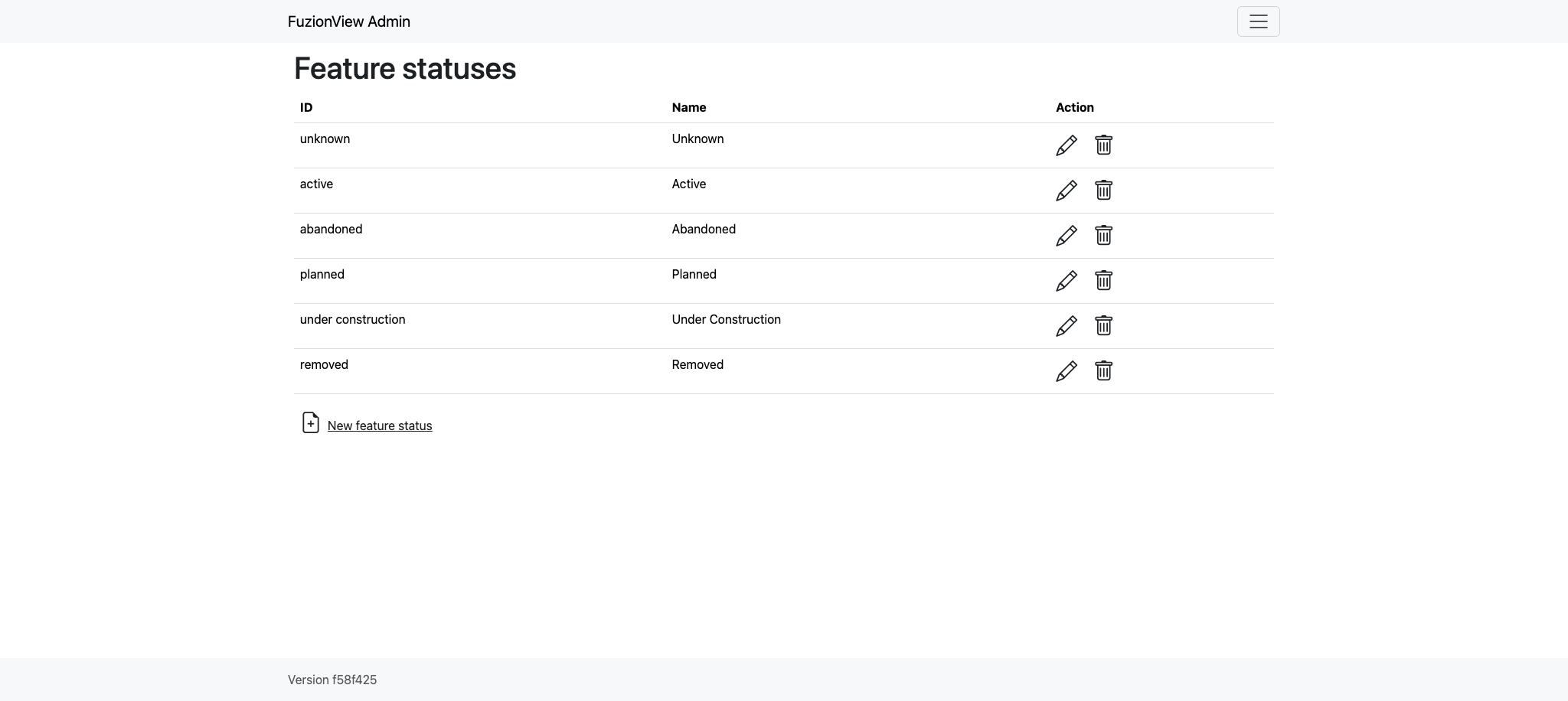
Feature Status
Ticket Types
The Ticket Type is used to visually indicate the urgency of a ticket, which is used in planning response time, such as Normal and Emergency. Emergency tickets display with the ticket number in red. The default values are from your state 811 system.
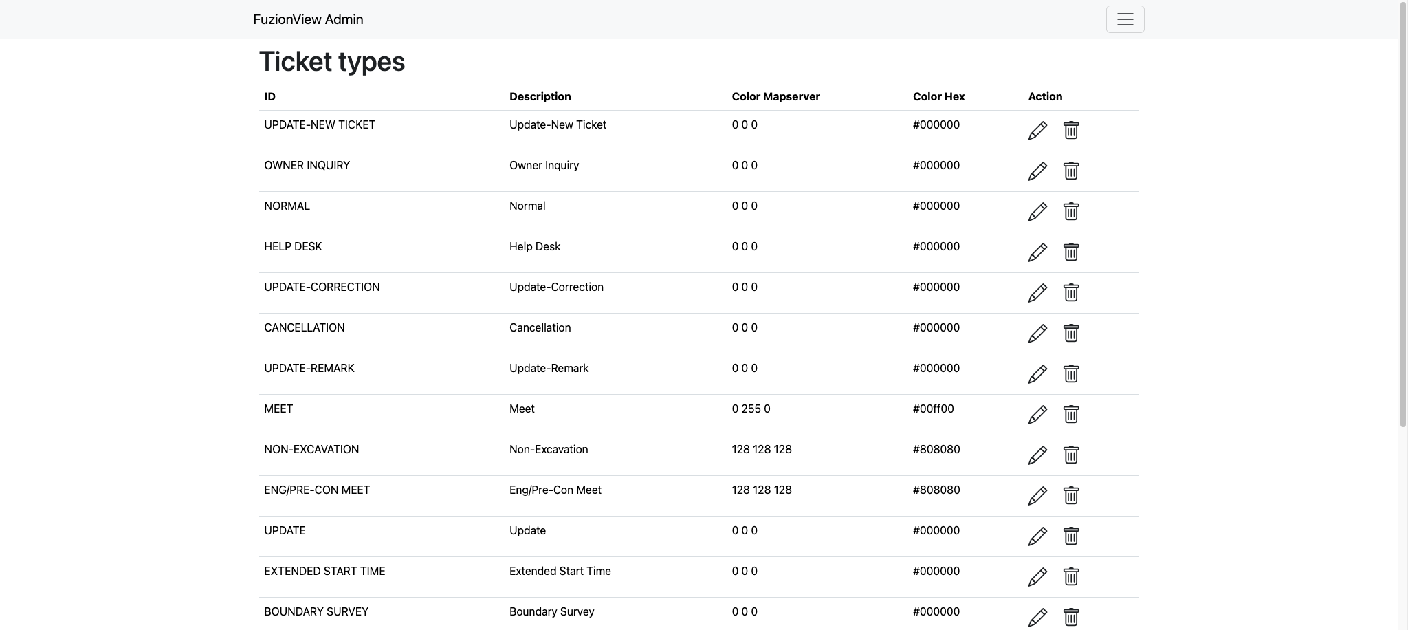
Ticket Types
Last Updated: Feb 11, 2026